Late-Night Tornado Siren Wakes Delavan
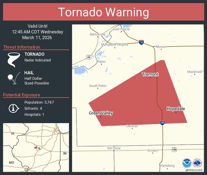
A late-night tornado warning sent Delavan residents scrambling for shelter Tuesday after the National Weather Service office in Lincoln issued the alert at 11:57 p.m. The town’s tornado siren sounded moments later, cutting through the quiet just before midnight.
While Delavan braced for the worst, the storm’s most serious impacts unfolded to the southeast. According to preliminary survey results from the NWS, the tornado that developed near Forest City and tracked toward Green Valley was rated an EF1, with peak winds estimated at 98 mph. The tornado remained on the ground for 10.17 miles and reached a maximum width of 50 yards.
Along its path, several irrigation pivots were overturned, and multiple trees suffered broken limbs. As the storm approached Green Valley, it intensified enough to snap eight power poles before dissipating a short time later.
The supercell skirted just north of Delavan, sparing the community from damage. A severe thunderstorm warning replaced the tornado warning shortly after, but no significant impacts were reported within town limits.
Tuesday’s volatile weather capped off an unseasonably warm day that saw temperatures climb to nearly 80 degrees. And March appears far from finished with its mood swings. After the near-summer warmth and a brush with severe weather, Delavan is now forecast to receive around one inch of accumulating snow on Monday, when the high temperature is expected to reach only 21 degrees.
For central Illinois, it’s another reminder that spring’s arrival rarely comes quietly.
